 Free tier
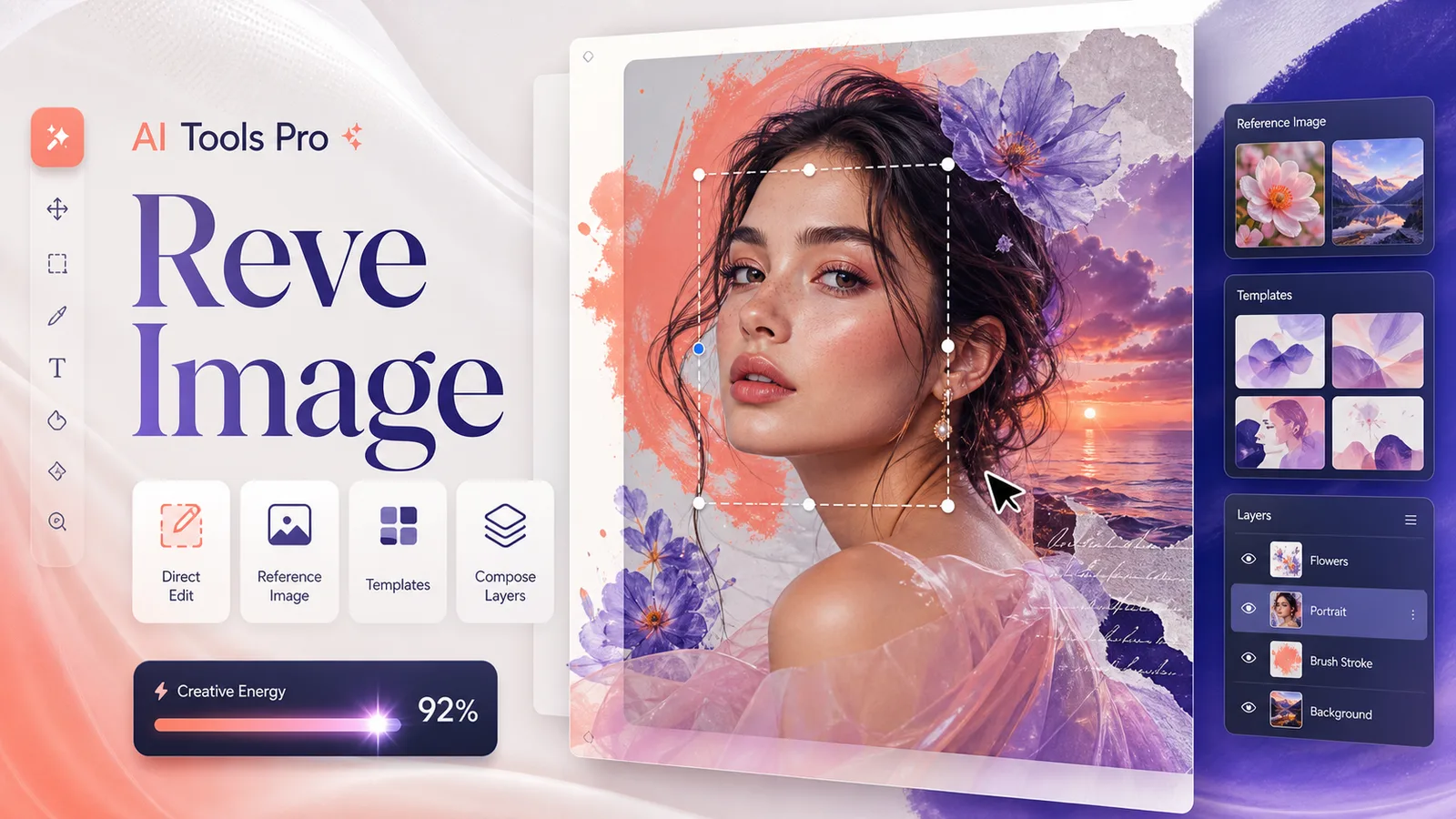
Create and edit high-resolution images with direct edits, references, templates, and layers in one workspace.
Image & Design
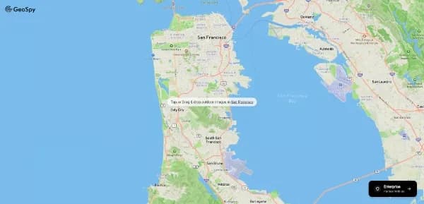
High-fidelity geospatial intelligence that identifies locations from photographs by analyzing architectural and environmental markers.
Best for: OSINT researchers, investigative journalists, and digital forensics specialists.
Free tierCreate and edit high-resolution images with direct edits, references, templates, and layers in one workspace.

A generative spatial engine that converts conceptual parameters into immersive 3D urban environments.

A high-performance retrieval engine that delivers direct, cited answers from real-time global sources without tracking user behavior.